


Le Pic Cassini

Roger Philippe Wallez
User GUIDE
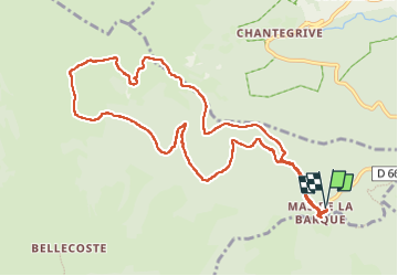

Length
12.1 km

Max alt
1675 m

Uphill gradient
271 m
Km-Effort
15.7 km

Min alt
1427 m

Downhill gradient
267 m
Boucle
Yes
Creation date :
2024-03-06 10:04:21.0
Updated on :
2024-03-10 09:13:07.801
5h30
Difficulty : Difficult

FREE GPS app for hiking
 SityTrail
IGN / Geographical institutes
SityTrail Plus
The world is yours!
About
Trail Walking of 12.1 km to be discovered at Occitania, Lozère, Pont de Montvert - Sud Mont Lozère. This trail is proposed by Roger Philippe Wallez.
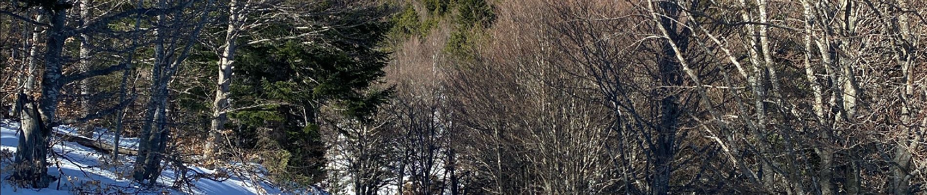
Photos


Positioning
Country:
France
Region :
Occitania
Department/Province :
Lozère
Municipality :
Pont de Montvert - Sud Mont Lozère
Location:
Le Pont-de-Montvert
Start:(Dec)
Start:(UTM)
569769 ; 4915212 (31T) N.
Comments